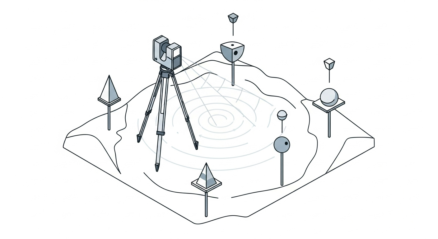
Overview
A 3D Scanning Survey is a high-definition method that uses laser scanners (LiDAR) to rapidly capture millions of precise 3D measurements, creating a detailed point cloud of a site or structure. This technique provides a comprehensive digital twin of existing conditions, replacing or supplementing conventional survey methods for complex as-built, design, and monitoring projects.
Context & Industry Use
3D scanning is employed where detailed geometry, safety, or efficiency is paramount. It is critical for as-built documentation in congested industrial plants, capturing intricate building facades for historic preservation, and mapping busy transportation corridors without disrupting traffic.
- Standards: Accuracy and deliverables often follow guidelines like the ASPRS Positional Accuracy Standards or the USGS Lidar Base Specification. Projects may also need to adhere to specific client or agency standards, such as those from the U.S. Army Corps of Engineers (USACE) or state Departments of Transportation.
- Safety: Field operations must comply with OSHA laser safety rules (29 CFR 1926.54) to ensure eye safety for both the crew and the public.
Estimation & Planning
- Estimation Drivers:
- Site Complexity & Size: More complex sites with obscured areas require more scan setups, increasing field time.
- Control & Targets: Establishing a dense survey control network and placing targets for scan registration is a significant time factor.
- Required Resolution: Higher scan density provides more detail but increases scan time and data file size.
- Access & Logistics: Difficult terrain, traffic control needs, or limited work windows impact crew time and cost.
- Deliverable Complexity: Delivering a raw point cloud is far less effort than creating a fully classified cloud or a detailed 3D BIM model.
- Client Questions Before Quoting:
- What coordinate system, vertical datum, and units are required?
- What is the required accuracy and point density for the final deliverables?
- What are the exact boundaries of the scan area and the required level of detail?
- What are the expected deliverables and formats (e.g., LAS, E57, Revit model, contour map)?
- Are there any site access restrictions, safety requirements, or work windows?
Deliverables & Hand-off
- Registered Point Cloud: The primary deliverable, typically in standard LAS, LAZ, or E57 formats, with clear metadata on the coordinate system.
- Surface Models & Contours: Digital Terrain Models (DTM) or Digital Elevation Models (DEM) of the ground, often delivered as contour maps in DWG/DXF format.
- 3D CAD/BIM Models: Detailed models of existing conditions for design and analysis, delivered in formats like Revit (RVT), IFC, or MicroStation (DGN).
- QA/QC Reports: Documentation detailing the survey control, scan registration errors, and accuracy validation against independent checkpoints.
Workflow with Job Book
- Tag each job with
3D Scanning Surveyto improve search and map filtering. - Use budgets and estimates to plan for field time, data processing, and modeling; compare with similar past jobs.
- Create tasks and assign crews; schedule scanner assets and office processing time to avoid conflicts.
- Link key equipment like laser scanners and software licenses as assets for availability, usage, and cost tracking.
- Capture field and office time using DWR/LEM and timesheets to speed approvals and invoicing.
- Monitor WIP and profitability by scope, client, and region in reporting to stay on top of margins.
Common Pitfalls & Tips
- Incomplete Coverage: Gaps or “shadows” in the data caused by line-of-sight obstructions. Tip: Plan scan locations with significant overlap and supplement with conventional survey shots if needed.
- Registration Errors: Merging scans without sufficient control can cause drift. Tip: Use a robust network of surveyed targets and perform independent check shots to validate the final registered cloud.
- Excessive Data: Overscanning creates massive files that are difficult to process. Tip: Tailor scan resolution to the project’s needs and use decimation techniques on non-critical areas.
- Coordinate System Mistakes: Delivering data in the wrong coordinate system. Tip: Confirm the required CRS, datum, and units with the client before starting fieldwork and include it in all deliverables.