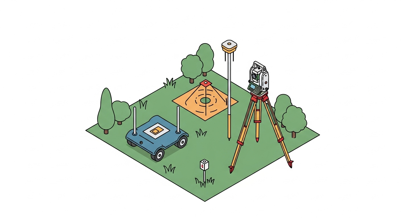
Overview
An Abandonment Survey provides the necessary documentation to legally close or retire a property interest or piece of infrastructure. This type of survey is crucial at the decommissioning phase of a project, whether it involves vacating a public road, extinguishing an old easement, or retiring a pipeline. The survey creates a precise record of what was abandoned and clarifies future ownership and responsibilities, preventing potential disputes and hazards. The final deliverable, often an abandonment plat or exhibit, becomes part of the official public record.
Context & Industry Use
Abandonment surveys are triggered in various scenarios:
- Right-of-Way (ROW) Vacations: When a municipality or county closes a public street or alley, a survey is required to create a legal description and plat for the land being returned to adjacent property owners.
- Easement Extinguishment: During redevelopment, old utility or access easements that are no longer needed are formally abandoned, requiring a survey to document the specific area being released.
- Pipeline & Facility Decommissioning: In the energy sector, retired pipelines must be accurately mapped to comply with federal regulations (49 CFR 192.727 & 195.402), with data often submitted to the National Pipeline Mapping System (NPMS).
Estimation & Planning
- Estimation Drivers:
- Scope of Research: Effort required to find and analyze historical records like deeds, plats, and as-built drawings.
- Fieldwork Complexity: The extent of field locations needed, terrain, access, and whether new monumentation must be set.
- Deliverable Requirements: The complexity of the plat, legal descriptions, and any required GIS data or regulatory reports.
- Regulatory Process: The number of review cycles and meetings with government agencies or stakeholders.
- Client Questions Before Quoting:
- What specific feature (road, easement, pipeline) is being abandoned?
- Do you have existing documents, such as deeds, plats, or alignment sheets?
- Who will the land revert to, and are there any existing utilities that need to be protected?
- What are the required deliverables (e.g., recordable plat, legal description, GIS file)?
- Is there a deadline for a public hearing or regulatory filing?
Workflow with Job Book
- Tag Jobs: Tag projects with “Abandonment Survey” to easily search and reference them later.
- Budgeting: Use past projects to create accurate estimates for research, fieldwork, and drafting.
- Document Management: Store all historical documents, field notes, and draft plats within the job for easy access.
- Tasking: Assign tasks for each phase of the project, from initial research to final plat recording.
- Reporting: Track project progress and profitability to ensure budgets are met.
Common Pitfalls & Tips
- Overlooking Utilities: Failing to identify and reserve rights for existing utilities within an abandoned ROW can lead to future access disputes. Tip: Always confirm the presence of utilities and show them as “easements to remain” on the plat.
- Incorrect Reversionary Rights: Assuming who owns the abandoned land without proper research can cause title issues. Tip: Conduct thorough title research to understand how ownership reverts and consult with legal counsel if necessary.
- Inaccurate Legal Descriptions: A description that doesn’t mathematically close or match the plat will be rejected. Tip: Use coordinate geometry software and have a second person review the plat and description for accuracy.


