Overview
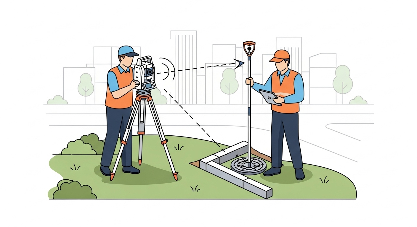
An as‑built survey documents the final, in‑place position and elevation of features after they are installed or constructed. The purpose is to verify compliance with design intent and to provide authoritative records for owners, agencies, and future maintenance. Typical features include utilities (inverts, pipe sizes, structures), pavements and curbs, buildings (corners, grids, slabs, anchor bolts), and site elements like walls, signs, and drainage.
Context & Industry Use
As‑built surveys are commonly required at project closeout or at key milestones (e.g., after utilities are installed and before backfill). Many jurisdictions publish detailed checklists specifying what must be shown on as‑built plans (e.g., utility sizes/materials, rim/invert elevations, offsets from references, and coordinate/vertical datum). Owners may also require plan/profile sheets or GIS submissions for asset management.
- Regulatory/Acceptance: Requirements vary by city, DOT, utility operator, and sector (e.g., pipeline operators may require detailed alignment and weld/as‑installed point logs). Always verify the client’s specification, applicable permits, and the jurisdiction’s submittal checklist.
- Control/Datums: Tie measurements to the agreed horizontal coordinate system and vertical datum/benchmark. Clearly state CRS, vertical reference, and any epoch/geoid used in deliverables.
- Methods: Use appropriate methods for the specified tolerances and feature access—GNSS/RTK for open‑area features, total stations or differential leveling for high‑precision elements, and scanning/photogrammetry where dense surface capture is helpful.
Estimation & Planning
- Estimation drivers:
- Scope and density of features to capture (e.g., every utility structure, every curb return, full building grid, weld/as‑installed points).
- Required tolerances and acceptance criteria (horizontal/vertical accuracy, checkpoints).
- Control availability and quality; need to establish or verify site control and benchmarks.
- Access and sequencing (e.g., capture utilities prior to backfill; coordinate with trades and traffic control).
- Method mix and documentation needs (GNSS, total station, scanning; plan/profile sheets, point tables, GIS schema).
- Deliverable formats and labeling standards from the client/jurisdiction.
- Client questions before quoting:
- Which features must be documented, and at what density/intervals?
- What coordinate system and vertical datum/benchmark are required?
- What tolerances and acceptance checks apply to each feature type?
- What deliverables and formats are required (plan/profile, DWG/DXF, CSV point tables, GIS)?
- Are there agency checklists, permits, or submittal templates we must follow?
- What schedule or phasing constraints affect when features can be surveyed (e.g., before backfill)?
Deliverables & Hand‑off
- As‑built plan sheets with annotations and legends; plan/profile where applicable.
- CAD files (DWG/DXF) with layers/blocks per client standards; coordinate system and vertical datum clearly labeled.
- Point tables (CSV/Excel) listing feature IDs, coordinates, elevations, and key attributes (e.g., pipe size/material, invert/rim).
- GIS deliverables when requested (e.g., shapefile/GeoPackage) following the client’s schema.
- Photos and field notes that tie observations to features/IDs when required.
- Surveyor certification language when requested by contract or jurisdiction.
Workflow with Job Book
- Tag each job with this scope so it’s easy to find in search and on the map.
- Use budgets and estimates to plan labor and equipment; compare with similar past jobs.
- Create tasks and assign crews; schedule work to avoid conflicts and coordinate pre‑backfill checks.
- Link key equipment as assets for availability, usage, and cost tracking.
- Capture field time (DWR/LEM) and timesheets; speed approvals and invoicing.
- Monitor WIP and profitability by scope, client, and region in reporting.
Common Pitfalls & Tips
- Mismatched datum/CRS: Confirm and document the project CRS and vertical datum on all outputs.
- Missing pre‑backfill observations: Coordinate to capture buried utilities and structures before they are covered.
- Working from outdated plans: Verify latest IFC drawings and track revisions/redlines.
- Incomplete attributes: Record required feature properties (sizes, materials, IDs) alongside coordinates.
- Insufficient control checks: Validate control/benchmarks and run redundancy checks appropriate to tolerance.
Related Scopes
- construction-layout
- underground-utility-survey
- pipeline-survey
- 3d-scanning


