Overview
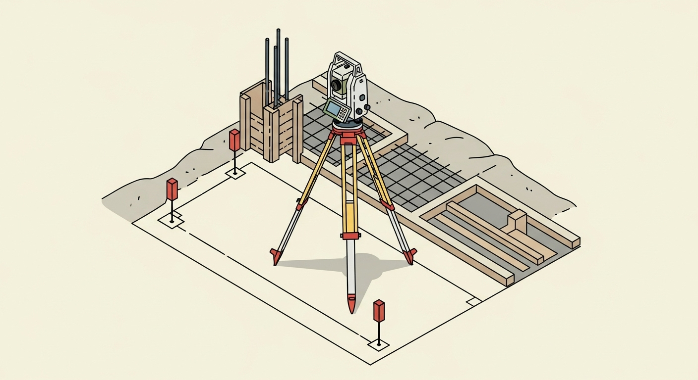
Construction layout, also known as construction staking, is the process of interpreting design plans and marking the exact location and elevation of proposed structures on the ground. Surveyors place physical stakes and markers to guide the construction of buildings, roads, utilities, and other infrastructure, ensuring the project is built precisely according to the engineering and architectural plans.
Context & Industry Use
Construction layout is a critical phase that bridges design and construction. It’s performed throughout the building process, from initial site preparation to final checks.
- Typical project types: Commercial and residential buildings, infrastructure (roads, bridges, pipelines), industrial facilities, and subdivisions.
- Standards: Layout work must adhere to project-specific tolerances and may be governed by standards from organizations like the National Society of Professional Surveyors (NSPS) or state Departments of Transportation (DOT). The surveyor’s primary responsibility is to accurately translate the approved design plans to the field.
- Common deliverables: Physical stakes on the ground (hubs, lath), cut sheets (showing cut/fill information), layout plans, and as-staked reports certifying the locations.
Estimation & Planning
- Estimation drivers:
- Project Complexity: The scope of stakeout (gridlines, foundations, utilities, anchor bolts) and the intricacy of the design.
- Site Conditions: Availability of existing survey control, site access, terrain, and active construction traffic.
- Drawing Quality: The clarity, completeness, and revision frequency of the design plans.
- Tolerances: The required precision for different elements (e.g., rough grading vs. structural steel).
- Documentation: The level of reporting required (e.g., simple cut sheets vs. comprehensive as-staked reports).
- Client questions before quoting:
- What are the latest IFC (Issued for Construction) drawings and the project coordinate system/datum?
- What are the required stake types, tolerances, and inspection hold-points?
- What is the project schedule, and are there any work window constraints?
- What are the as-built capture requirements and deliverable formats?
- How will design revisions and RFIs be communicated?
Deliverables & Hand-off
- Physical Staking: Wood stakes, hubs with tacks, or rebar set at key locations with clear markings (e.g., offsets, cuts/fills).
- Cut Sheets: Reports provided to contractors detailing the vertical difference between the existing ground and the proposed design elevation at each stake.
- Digital Data: CAD files (DWG/DXF) or CSV files of staked points, ensuring the coordinate system and datum are clearly defined.
- Certification: A formal letter or report, often stamped by a licensed surveyor, confirming that the layout was performed in accordance with the specified plans.
Workflow with Job Book
- Tag each job with
Construction Layoutto improve search and map filtering. - Use budgets and estimates to plan labor and equipment; compare with similar past jobs to refine bids.
- Create tasks and assign crews on the scheduler; drag and drop to adjust for weather or site delays.
- Link key equipment like robotic total stations and GPS rovers as assets for availability and cost tracking.
- Capture field time (DWR/LEM) and timesheets on-site to speed up approvals and invoicing.
- Monitor WIP and profitability by scope, client, and project manager in real-time reports.
Common Pitfalls & Tips
- Working from Outdated Plans: Always verify you have the latest revision of the construction plans. Implement a strict check-in process for new drawings.
- Disturbed Survey Control: Protect primary control points. Set offset stakes or reference hubs in safe locations to quickly re-establish points that are knocked out.
- Unclear Tolerances: Document all required tolerances in writing before starting work to avoid disputes and rework.
- Poor Communication: Maintain clear and constant communication with the site superintendent to coordinate staking activities with other trades and avoid conflicts.
- Inadequate Documentation: Keep meticulous field notes, photos, and records of all layout activities. This documentation is crucial for resolving disputes and verifying work.