Overview
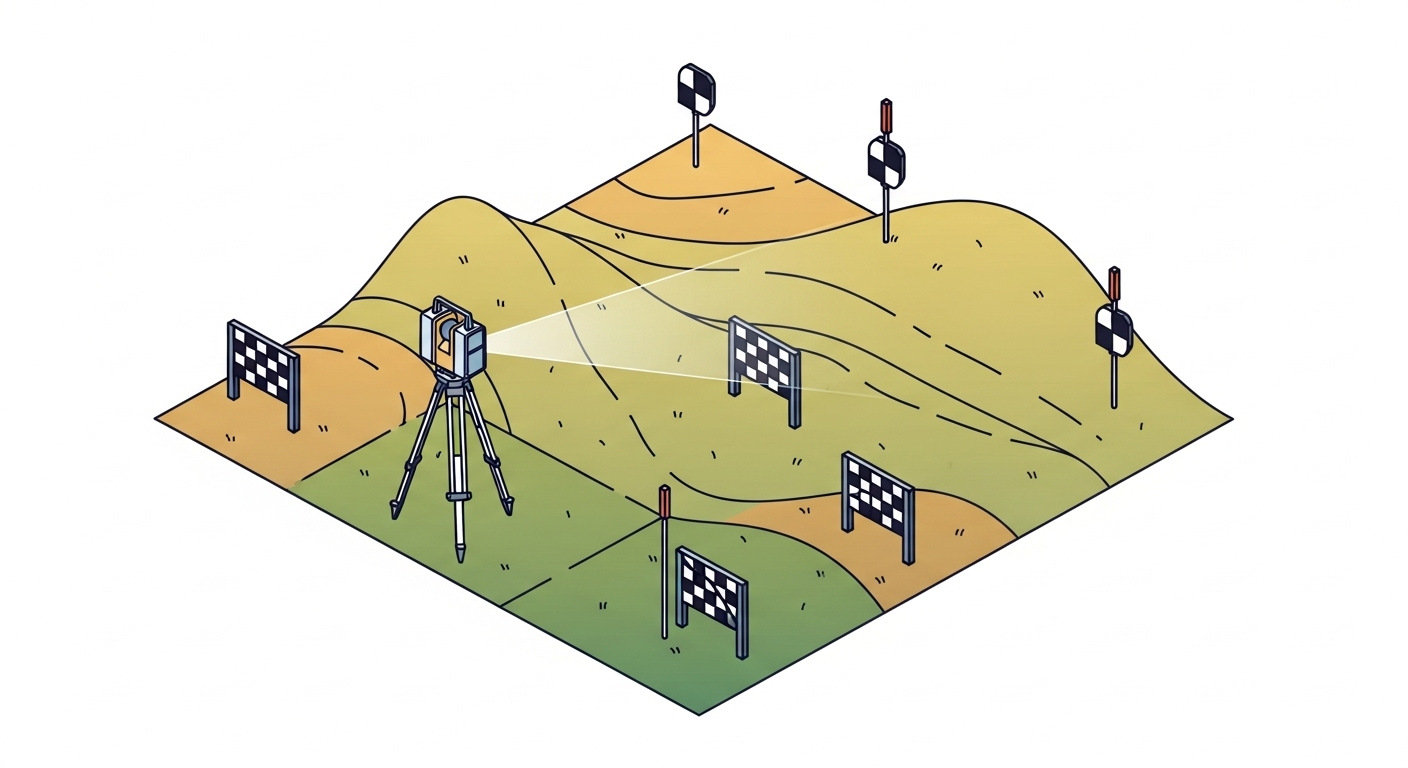
A LiDAR (Light Detection and Ranging) survey uses laser scanners to rapidly collect millions of precise 3D measurements, creating a detailed “point cloud” of a site or structure. This technology is used across various platforms—terrestrial (tripod-based), mobile (vehicle-mounted), and aerial (manned aircraft or UAV)—to capture complex geometries with high accuracy and speed. LiDAR is essential for projects requiring detailed as-built information, large-scale topographic mapping, and 3D modeling.
Context & Industry Use
- Typical project types: Large-scale topographic mapping, highway and rail corridor design, as-built surveys for industrial facilities (Scan-to-BIM), volume calculations, and structural monitoring.
- Standards: Deliverables often adhere to the USGS Lidar Base Specification for quality levels (QL1, QL2) and the ASPRS LAS file format for data exchange. Accuracy is reported based on NSSDA standards.
- Common deliverables: Classified point clouds (LAS/LAZ), Digital Elevation Models (DEM/DTM), contours, intensity imagery, and extracted 2D/3D CAD features.
Estimation & Planning
- Estimation drivers:
- Platform Choice: The selection of terrestrial, mobile, or aerial LiDAR impacts cost, mobilization, and field time.
- Point Density & Accuracy: Higher density and accuracy requirements increase collection and processing time.
- Site Complexity: Vegetation, terrain, and obstructions (occlusions) require more scan setups or flight lines.
- Processing & Feature Extraction: The level of classification, modeling, and feature extraction is a major driver of office labor.
- Control Requirements: Establishing and surveying ground control or checkpoints adds to the field effort.
- Client questions before quoting:
- What is the intended use of the LiDAR data (e.g., topography, BIM, analysis)?
- What are the required accuracy, point density, and deliverable formats?
- What are the site conditions (vegetation, access, potential hazards)?
- Are there existing survey control points to tie into?
- What is the required coordinate system and vertical datum?
Deliverables & Hand-off
- Classified Point Cloud (LAS/LAZ): The primary deliverable, with points classified into categories like ground, vegetation, and buildings per ASPRS standards.
- Digital Elevation Model (DEM/DTM): A bare-earth raster or TIN surface, often hydro-flattened.
- CAD/GIS Products: Contours, planimetric features, and cross-sections.
- Metadata & Accuracy Report: A report detailing the collection process, coordinate system, and statistical accuracy assessment based on checkpoints.
Workflow with Job Book
- Tag Jobs: Tag projects with
LiDARand sub-tags liketerrestrialoraerialfor precise searching and reporting. - Budget & Estimate: Create detailed estimates that separate field collection, data processing, and feature extraction tasks to accurately track costs.
- Schedule Resources: Assign specialized LiDAR crews and high-value equipment (scanners, drones, software licenses) on the master schedule to prevent conflicts.
- Track Assets: Link specific scanners and software to jobs to monitor utilization, maintenance schedules, and project costs.
- Capture Time: Use timesheets to track hours for both field crews and office technicians, ensuring all processing time is accounted for.
- Report Profitability: Analyze the profitability of different LiDAR services to understand which are most successful and to refine future bids.
Common Pitfalls & Tips
- Poor Control or Georeferencing: Ensure robust ground control and check the final data against independent checkpoints to avoid systematic errors.
- Inadequate Coverage (Gaps/Shadows): Plan for sufficient overlap in flight lines or scan positions to minimize data voids behind obstructions.
- Misclassification of Point Cloud Data: Use a combination of automated algorithms and manual review to ensure accurate classification of ground, vegetation, and other features.
- Managing Massive Datasets: Use tiled data formats and efficient processing workflows to handle large point clouds without overwhelming hardware.