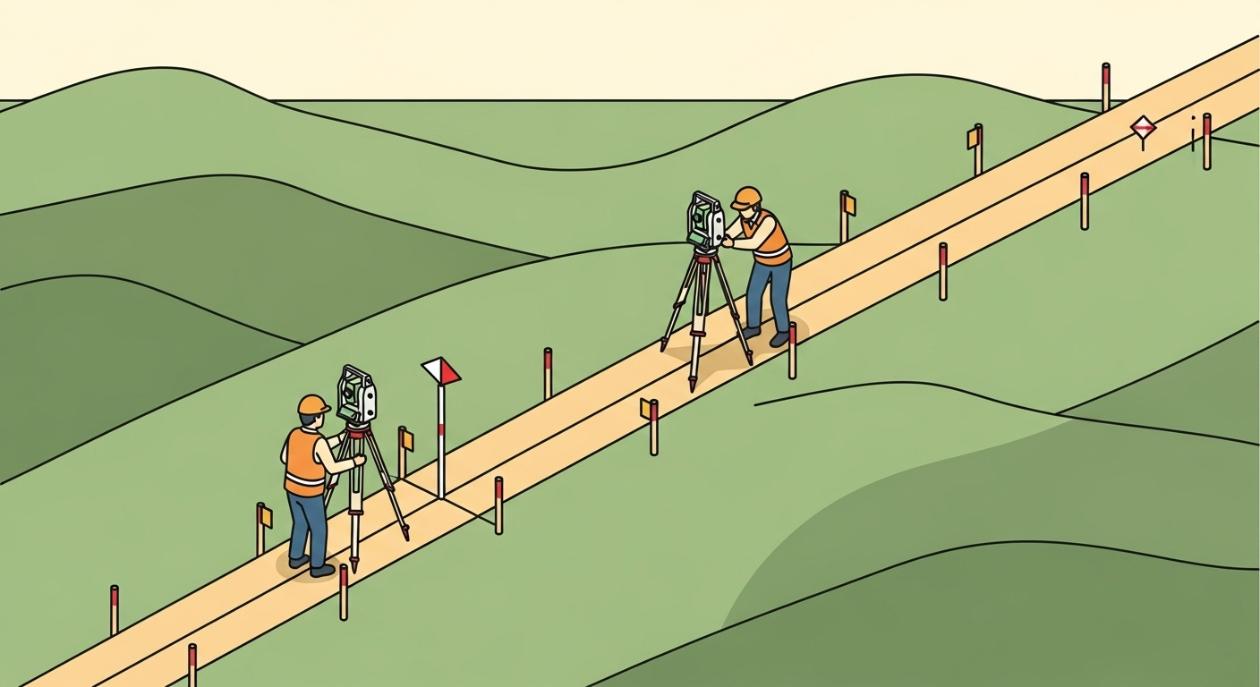
Overview
A pipeline survey provides the precise geospatial data needed to plan, permit, construct, and maintain oil, gas, or utility pipelines. This scope covers the entire project lifecycle, from initial route selection and topographic mapping to staking the alignment for construction and performing a final as-built survey to document the pipeline’s exact location for regulatory and operational purposes.
Context & Industry Use
Pipeline surveys are fundamental to the energy and utility sectors. They are performed at several key stages:
- Planning & Design: Preliminary surveys map terrain, identify obstacles, and define the most efficient and safest route.
- Land Acquisition: Surveyors locate property boundaries and prepare legal descriptions and plats for right-of-way (ROW) and easement acquisition.
- Construction: Construction layout or staking guides excavation and installation, ensuring the pipeline is built according to the design plans.
- Post-Construction: As-built surveys create a permanent record of the pipeline’s horizontal and vertical position, which is critical for safety, maintenance, and regulatory compliance with bodies like the Pipeline and Hazardous Materials Safety Administration (PHMSA).
Estimation & Planning
- Estimation drivers:
- Corridor Length & Terrain: The primary driver is the length of the pipeline, compounded by difficult terrain like mountains, wetlands, or dense forests.
- Access & Permissions: Time required for landowner coordination and securing access to the right-of-way.
- Control Network: Effort to establish or tie into a consistent geodetic control network over a long, linear project.
- Survey Method: Choice between ground crews (GNSS/Total Station) and aerial methods (LiDAR/Photogrammetry) impacts cost and schedule.
- Deliverable Complexity: Requirements for detailed alignment sheets, easement plats for numerous parcels, and specific GIS data formats add significant office time.
- Client questions before quoting:
- What is the proposed route, length, and corridor width?
- Are we responsible for boundary research and preparing easement plats?
- What are the required horizontal and vertical datums and accuracy standards?
- What are the specific deliverables (e.g., alignment sheets, GIS data, as-built reports)?
- Are there any known access issues, environmental constraints, or safety requirements?
Deliverables & Hand-off
- Alignment Sheets: Plan and profile drawings detailing the pipeline’s route, elevation, and features.
- Easement Plats: Legally binding documents used to acquire land rights for the pipeline corridor.
- Geospatial Data (GIS): Digital files (e.g., shapefiles, geodatabases) containing the pipeline centerline and features with attributes for use in asset management systems.
- As-Built Reports: Certified documentation of the final, installed location and depth of the pipeline.
Workflow with Job Book
- Tag each job with
Pipeline Surveyto improve search and map filtering. - Use budgets and estimates to plan labor and equipment, comparing with similar past projects.
- Create tasks and assign crews; schedule work to avoid conflicts and manage long-term projects.
- Link key equipment as assets for availability, usage, and cost tracking.
- Capture field time (DWR/LEM) and timesheets to speed up approvals and invoicing.
- Monitor WIP and profitability by scope, client, and region in reporting.
Common Pitfalls & Tips
- Datum Inconsistency: Mixing datums or coordinate systems over a long corridor can cause significant errors. Tip: Establish a single, project-wide coordinate system and datum at the outset and ensure all data conforms to it.
- Inaccurate Boundary/Easement Delineation: Relying on GIS parcel data instead of performing proper boundary surveys can lead to legal disputes. Tip: Conduct thorough boundary research and fieldwork for all affected parcels.
- Incomplete As-Built Data: Failing to capture the precise location of the pipeline, including bends and welds, before backfilling can create major safety and maintenance issues. Tip: Coordinate closely with construction crews to survey the pipeline “in the ditch” to ensure a complete and accurate record.
- Poor Communication: Lack of communication with landowners, clients, and construction teams can cause delays and rework. Tip: Establish clear communication channels and provide regular updates on progress and any issues encountered.