Overview
A UAV (Unmanned Aerial Vehicle) survey uses a drone equipped with cameras or other sensors to collect survey-grade spatial data from the air. This method typically uses photogrammetry or LiDAR to produce high-resolution aerial imagery and detailed 3D models of a site. UAV surveys are valuable for their ability to rapidly acquire data over large or difficult-to-access areas, improving safety and efficiency compared to traditional ground-based methods.
Context & Industry Use
UAV surveys are frequently used for:
- Topographic Mapping: Creating detailed site plans for engineering design, land development, and resource management.
- Construction Monitoring: Tracking progress, verifying earthwork quantities, and calculating stockpile volumes.
- Hazardous Area Mapping: Safely surveying unstable slopes, active mines, or disaster sites without endangering field crews.
- Corridor Mapping: Efficiently mapping long linear projects such as roads, railways, and pipelines.
Estimation & Planning
- Estimation drivers:
- Area Size & Flight Time: The total area to be mapped directly impacts the number of flights and batteries required.
- Required Resolution (GSD): Higher resolution imagery requires lower flight altitudes, increasing flight time and data volume.
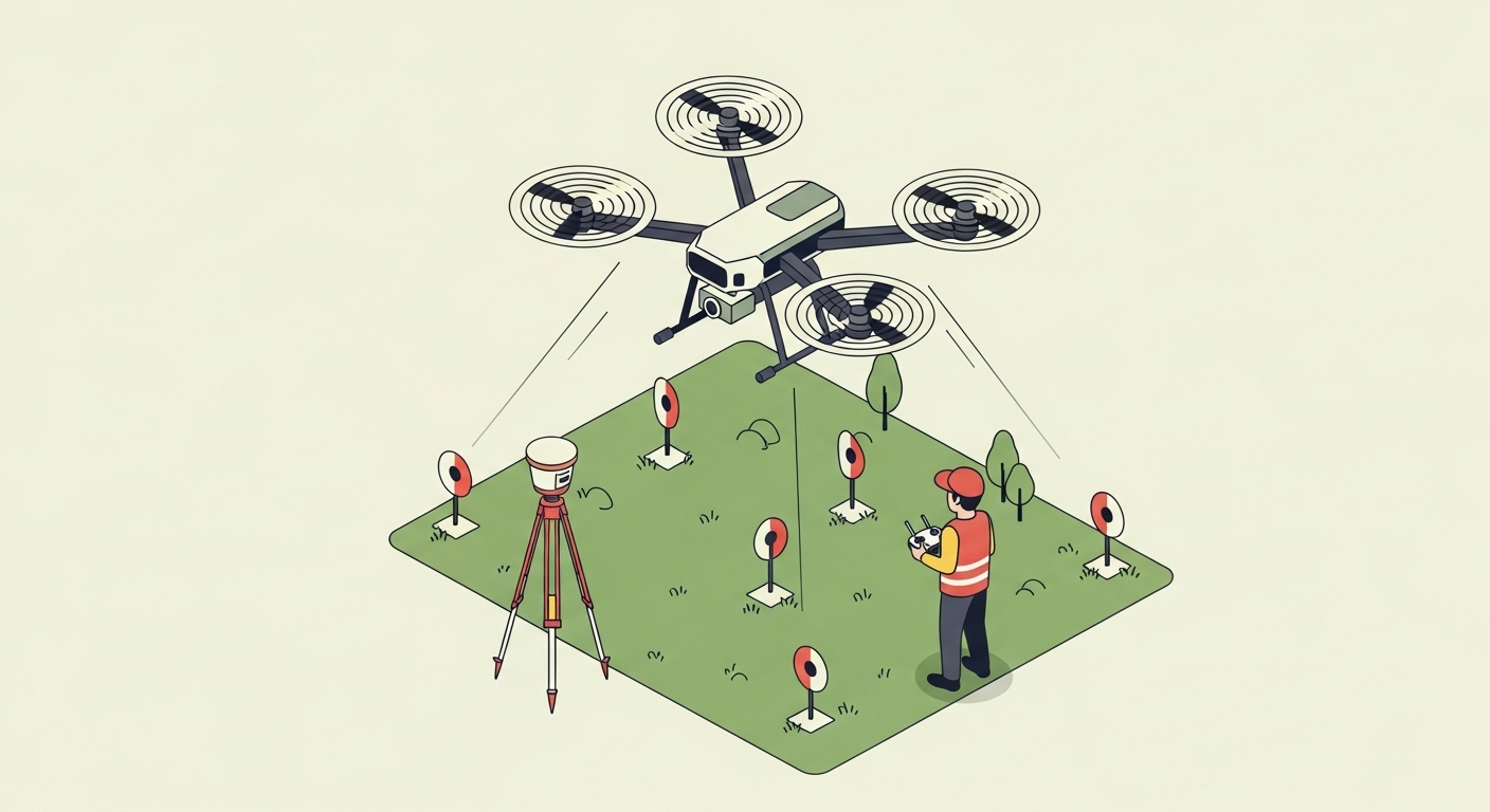
- Ground Control: The need to establish and survey Ground Control Points (GCPs) adds field time but is crucial for accuracy.
- Airspace & Regulations: Operating in controlled airspace requires additional time for FAA authorization.
- Terrain & Obstacles: Complex terrain or numerous obstacles may require multiple flight plans and careful navigation.
- Client questions before quoting:
- What are the required outputs (orthomosaic, DTM, contours) and accuracy specifications?
- What are the site conditions, including vegetation cover and any potential flight hazards?
- Is there existing survey control on site to tie into?
- Are there any airspace restrictions or site access limitations?
- What is the project timeline and are there any weather-dependent constraints?
Deliverables & Hand-off
- Orthomosaic Imagery (GeoTIFF): A georeferenced and orthorectified aerial image map.
- 3D Point Cloud (LAS/LAZ): A dense point cloud representing the site’s topography and features.
- Digital Terrain Model (DTM/DEM): A bare-earth raster grid of elevations.
- CAD Topographic Map (DWG/DXF): A drawing with contours, spot elevations, and planimetric features.
- Accuracy Report: A report documenting the survey’s horizontal and vertical accuracy, typically verified with independent checkpoints.
Workflow with Job Book
- Tagging: Tag jobs with
UAV Surveyto easily search and filter past projects. - Estimating: Use historical data from similar UAV jobs to benchmark flight times, processing effort, and costs for new proposals.
- Scheduling: Assign pilots and equipment, and schedule flights around weather and site access constraints.
- Asset Tracking: Link drones, sensors, and ground control equipment as assets to track utilization and maintenance.
- Field Data: Capture field notes, GCP coordinates, and flight logs within the job record.
- Reporting: Monitor project profitability and WIP by scope, client, and region to understand business performance.
Common Pitfalls & Tips
- Insufficient Overlap: Not planning enough overlap between images can lead to gaps and poor accuracy in the 3D model. Tip: Plan for at least 75% forward and 60% side overlap.
- Poor Ground Control: Inadequate or poorly distributed GCPs can result in a warped or inaccurate model. Tip: Distribute GCPs evenly across the project area, including at high and low elevations.
- Ignoring Weather: Flying in high winds or poor lighting can degrade data quality. Tip: Plan flights for calm, brightly overcast days to minimize wind effects and harsh shadows.
- Datum/Projection Errors: Delivering data in the wrong coordinate system is a critical error. Tip: Verify all coordinate system and vertical datum requirements with the client before processing.