Overview
An underground utility survey, a key component of Subsurface Utility Engineering (SUE), involves locating, identifying, and mapping buried infrastructure like gas lines, water mains, sewers, and electrical or telecommunication cables. This process is critical for informing project design, preventing costly and dangerous utility strikes during construction, and ensuring the long-term integrity of utility networks. It combines records research, site reconnaissance, surface geophysics, and sometimes non-destructive excavation to create a comprehensive picture of the subsurface.
Context & Industry Use
- ASCE 38-22 Standard: The American Society of Civil Engineers (ASCE) Standard 38-22, “Standard Guideline for Investigating and Documenting Existing Utilities,” is the primary industry guideline. It establishes a framework of four Quality Levels (QL) to classify the reliability of utility data, from QL-D (records research) to QL-A (physical exposure).
- Project Triggers: These surveys are essential before any significant excavation and are often mandated by state Departments of Transportation (DOTs) and municipalities for public works projects to mitigate risks associated with utility conflicts.
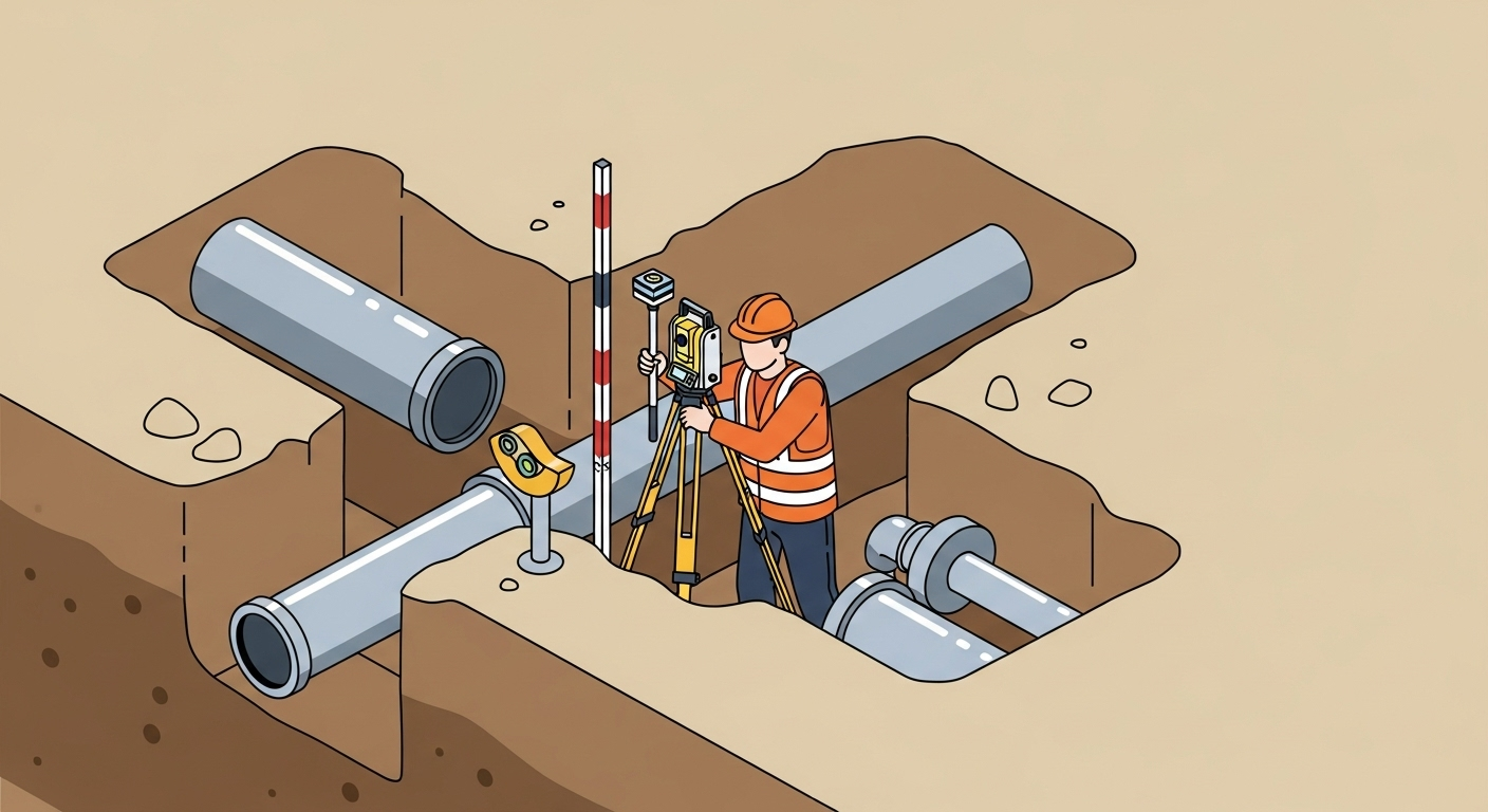
- Common Deliverables: The primary deliverable is a detailed utility map in CAD or GIS format, where each utility is shown with its corresponding quality level. This is often supplemented with a report, pothole logs, and photos.
Estimation & Planning
- Estimation drivers:
- Required SUE quality level per corridor/feature (QL-D/C/B/A).
- Utility congestion, material types (metallic/non-metallic), and expected depth.
- Scope of surface geophysics (GPR/EM) and vacuum excavation (potholing).
- Traffic control, permits, and site access requirements.
- Soil conditions affecting geophysical instrument performance.
- Deliverable detail (plan/profile, 3D model, GIS schema).
- Client questions before quoting:
- What SUE quality level is required for the project?
- Are there known existing records or utility mark-outs available?
- What are the positional tolerance and vertical reference requirements?
- Is there a need for potholing, and are there restoration requirements?
- What are the traffic control needs and work window constraints?
- What are the required deliverable formats (CAD, GIS, 3D) and coordinate systems?
Workflow with Job Book
- Tag Jobs: Tag projects with
Underground Utility Surveyand add method tags likeSUE,GPR, orpotholingfor granular search and reporting. - Budget & Estimate: Use past job data to accurately estimate hours and equipment costs for different quality levels and site conditions.
- Schedule Crews & Assets: Assign locator technicians and survey crews. Link key assets like GPR carts, EM wands, and vacuum trucks to the schedule to ensure availability and track utilization.
- Track Field Data: Capture field hours via timesheets and DWRs. Use checklists to ensure all required data (photos, pothole logs) is collected according to ASCE 38-22 standards.
- Monitor Profitability: Use real-time reporting to track work-in-progress (WIP) and profitability by client, project type, and quality level.
- Invoice Faster: Streamline the review and approval of field data to generate invoices more quickly and improve cash flow.
Common Pitfalls & Tips
- Relying on Records: Utility records are often outdated or inaccurate. Always treat them as a guide, not ground truth, and verify in the field.
- Misidentifying Utilities: Signals from geophysical equipment can be ambiguous in congested areas. Verify utility type using surface features (manholes, valves) whenever possible.
- Depth Estimation Errors: Depth estimates from surface geophysics are approximate. If precise depth is critical for design, specify and perform QL-A potholing.
- Incomplete Deliverables: Ensure all deliverables clearly state the quality level for each utility, the coordinate system and datum, and include disclaimers about potential undiscovered utilities.